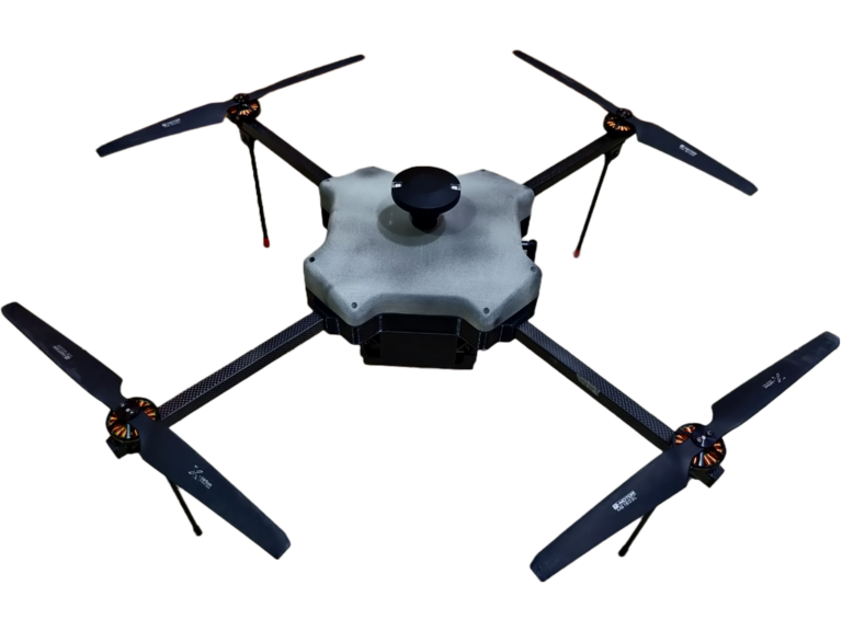
DRISHYA UAV
Survey Companion

Specifications
4. KG
> 24 MP Sony APS-C CMOS SENSOR
Fail Safe
Low Battery Voltage
Communication Loss
1000 M AGL
Digital Encrypted Communication Link
Cruise Speed : 5 m/s Max.
Speed : 13 m/s
Obstacle Sensing
Onboard Geo-Tagging Images
GNSS - High Accuracy L1/L2 & L5
Up-to 45 mins
Operating Range
5 Km*
Li Ion
1.5 Sq. Km / Per Flight
12 m/s
One Button Return To Launch
Drishti UAV is built to conduct small and large-scale drone surveys with unmatched data quality at a fraction of the time and cost.
APPLICATIONS

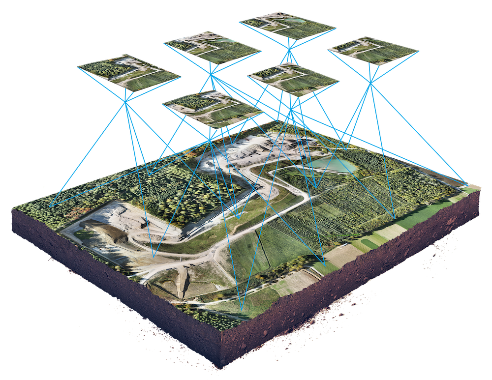
3D Model

ORTHOMOSIAC

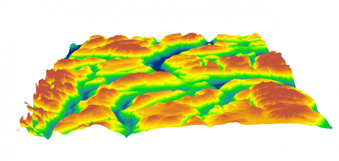
DIGITAL TERRAIN MODEL

CONTOUR LINES

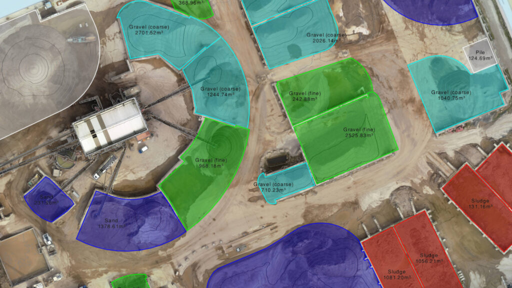
STOCKPILE
DRISHYA UAV
DRISHYA UAV built for surveyors.
Require a drone for survey project ?
Get In Touch: [email protected]


